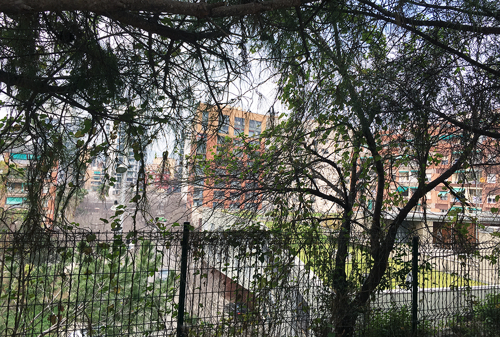
 Over the next two weeks, our students will participate in our local socio-spatial workshop. After working for the last two years with Barcelona’s Ciutat Refugi, a municipal program that handles the reception, accommodation and care of asylum seekers, this year our students will tackle the massive task of “Mapping Towards Connectivity” for the Montjuïc area in Barcelona. The workshop is led by Apen Ruiz, Marta Benages, our assistant director Raquel Colacios and our director Carmen Mendoza Arroyo in collaboration with Barcelona Regional.
 MONTJUÏC AND ITS URBAN CONFLICTS
Throughout its turbulent history, the 210m high mountain of Montjuïc has been the setting of many important events and activities. Mostly known for its castle and role in the Siege of Barcelona of 1705 and the Spanish Succession War, the mountain with its many natural fountains was once used as agricultural land. From the 1880 onwards, many barracas – informal settlements – were sprawling across its slopes. Today, only few traces of this past can be found. The mountain, offering fabulous views over the city and sea, has turned into a tourist attraction thanks to its 1992 Olympic facilities, and various museums and gardens. Yet, these urban design projects driven by city marketing and capital growth have enhanced the economic and physical divide and failed to create a more equitable urban development for the surrounding suburbs.
This huge gap between land use and urban and social needs will be addressed through the workshop. The formulation and adoption of urban policies is always a political process. Therefore, the goals, methods, and urban strategies to shape equitable cities need to be driven by the urban institutions, using their tools and leading the implementation. Working at the neighborhood scale of intervention, spatial planning tools and participatory mechanisms can initiate a path towards an inclusive physical transformation. Hereby it is important to take into account that future urban developments in certain sites affect directly the land value, the perspectives of jobs, housing availability, transport facilities, social amenities and the aesthetics of the surroundings.
In collaboration with the office of Barcelona Regional, a supra-municipal public institution dedicated to strategic, urban and infrastructural planning, our students will contribute to develop a new perspective for the transformation of the mountain of Montjuïc into a more inclusive and diverse green infrastructure for the city of Barcelona. A special focus will be put on working on potential solutions for current conflictive urban problems, and proposals that bridge the social and spatial realms.
 OBJECTIVES
In accordance with the objectives of the ‘Action Plan for the Parc of Montjuïc’ (2019-2029), Barcelona Regional intends to better the accessibility from the diverse neighborhoods on the border of the Mountain of Montjuïc and generate a better relationship between the mountain and the city. Furthermore, the open space network available to the neighbors is supposed to be rationalized and better organized.
Taking this in regard, the main objective of the workshop is the transformation of the existing Viver dels Tres Pins – the “Three Pine Tree Nursery” northwest of the mountain – into an open space that can be accessed from all adjacent neighborhoods. Under this framework, the socio-spatial workshop will focus on developing maps that reflect the barriers, spatial vulnerabilities, facilities and cultural-civic activities in four different routes related to the four access points to the Viver dels Tres Pins: from the Centre Civic Font de la Guatlla; the Placeta de Llorca, the Plaça del Sortidor and Mig de Can Clos.
The proposals will be presented by our students on March 6. We cannot wait to show you the results!


